3D Scanning Visual Effects Technology – www.tngvisualeffects.com – 877.879.2040
Wednesday, September 10, 2014
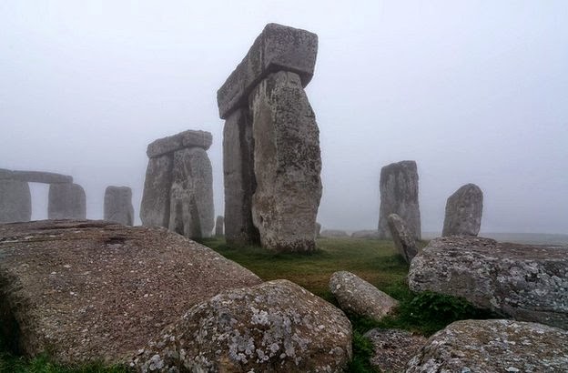
Stonehenge secrets revealed by underground map
New scan data will produce an account of how Stonehenge's landscape evolved over time. Researchers used six different techniques to scan the whole site at different depths below the surface.


No comments:
Post a Comment